Wye River Walking Tracks
Nature & Parks
Wye River - Riverwalk
A gentle valley walk beside the meandering Wye River through the camping ground and up Wye River valley.
Time: 30 minutes return
Difficulty: Easy
Starts: At the playground near the Wye River café.
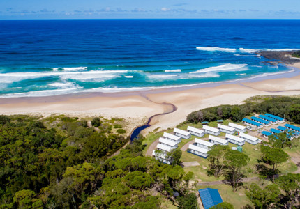
A gravel path follows the river upstream. Initially it passes rushes and a fishing platform, and then then runs on the grass beside the river through BIG4 Wye River Holiday Park.
Further upstream it passes pastures on one side and bush on the other and heads into deeper bush, finally stopping at the edge of ferns in the rainforest.
Wye River to Jamieson Creek Walk (Great Otway National Park)
This undulating 5.3km coastal track with steps and creek crossings links Wye River township to Jamieson Creek.
Time: This grade 3 walking track will take approximately 2 hours end to end (one way).
Difficulty: Suitable for most ages and walkers with moderate fitness.
Starts: The walk starts in Wye River by following the CFA track then heading along Paddy's Path to Separation Creek. At Separation Creek stay on the bush side of the road and walk to the opposite end of town (approx. 400 metres) where the track continues and is clearly signed.
High points along the track offer views through tall eucalypt and temperate rain forests to the Southern Ocean beyond. Learn about the history of the area through storyboards along the way and listen for birdlife as you walk through forest above the iconic Great Ocean Road.
Take the time to have a rest at seats provided along the way, enjoy the Great Otway National Park and take care when crossing Wye Road.
Wye River to Kennett River Walk (Great Otway National Park)
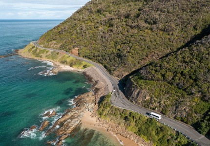
A beautiful coastal walk following the Great Ocean Road through sections of forest between Wye River and Kennett River townships. Enjoy coastal views to Cape Otway and over the Bass Strait while hugging the steep edge of the Otway Ranges and treading the line between forest and ocean.
Time: 1hr 45mins each way.
Difficulty: Suitable for most ages and walkers with moderate fitness.
Starts: Commencing at the Wye Beach Hotel and winding through the streets of the township, the trail begins at the top of Morely Avenue. A meandering track with challenging steep sections, this walk follows the coastline above the Great Ocean Road before descending into Kennett River.
This undulating coastal track with steps and creek crossings links the townships of Wye River and Kennett River. High points of the track offer views through tall eucalypts to the Southern Ocean and beyond. Learn about the history of the area through storyboards and listen for birdlife as you walk through the forest above the Great Ocean Road.
Beach Walk Wye River to Separation Creek
The fascinating sand and rock ramble between Wye River and Separation Creek.
Time: 25 mins each way
Difficulty: Easy, except for a section of rock at the Wye River end that can get slippery at high tide. Not suitable for prams or strollers.
Start: Where Separation Creek meets the sea at one end, Wye River at the other end.
There are a few rock pools accessible at low tide midway along the walk.
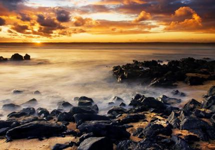
The layered ancient rocks make an endless series of patterns and shapes where they are weathered by tides and wind. An abandoned rusting rail is a reminder of the timber railway that ran along Paddy’s Path of a century ago.
Extended beach walks
1/ At the Wye River end you can continue west (towards Apollo Bay) and pass the relics of the two abandoned piers first built over a century ago. The rocks at Point Sturt below the transmitter station are a natural mini amphitheatre and favourite fishing spot.
2/ From the Separation Creek beach you can continue north (towards Lorne) for several km along a series of mini beaches and rock shelves, until reaching Boggaley Creek. This is a pretty walk past many wind eroded caves in the soft rock, and some black layers that show the turbulent past frozen in the geological time record. You will often disturb Heron’s fishing in the rockpools.


