Mt Leura and Mt Sugarloaf Reserves
National Parks and Reserves
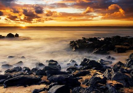
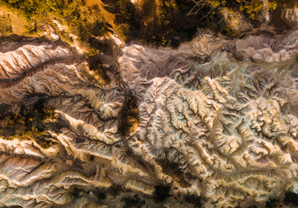
Mount Leura and Mount Sugarloaf are part of a large volcanic complex known as the Leura Maar which was formed more than 20,000 years ago by a series of major volcanic eruptions.


Since 1995, community involvement on the Reserve has resulted in major conservation and revegetation activities, including planting thousands of Indigenous trees, grasses and herbs, construction of paths, information displays and shelters.
Located in the third-largest volcanic plain in the world, the summit of Mt Leura affords magnificent views of the districts many volcanic cones. Take the time to explore the amazing natural beauty of the reserve − you never know what you might find!
Located in the third-largest volcanic plain in the world, the summit of Mt Leura affords magnificent views of the districts many volcanic cones. Take the time to explore the amazing natural beauty of the reserve − you never know what you might find!